Tata Steel — Digital Engineering & Industry 4.0
At Tata Steel, I led the digital transformation of engineering and inspection workflows — applying drones, 3D modeling, BIM, GIS, and LiDAR to modernize operations, reduce downtime, and establish Industry 4.0 practices across plant and project engineering.
My Contributions
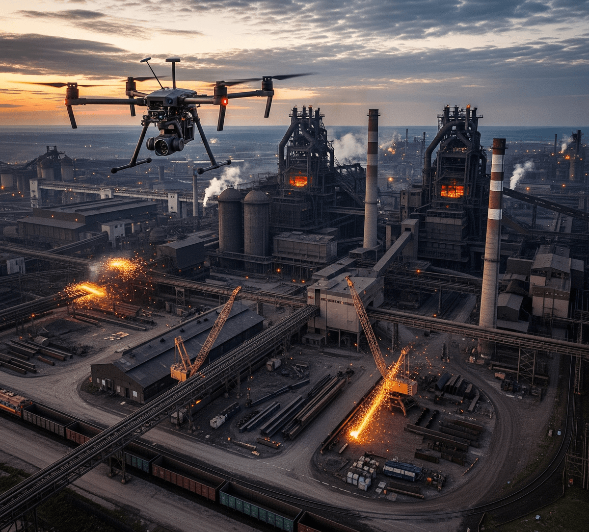
- Drone-based Inspection: Introduced UAVs for plant & site inspection, cutting inspection time from weeks to days and improving worker safety.
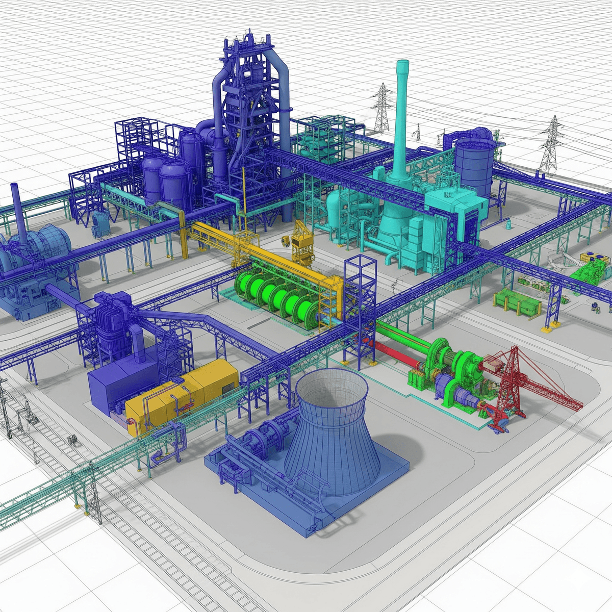
- 3D Modeling & BIM: Deployed Building Information Modeling (BIM) and 3D digital twins to re-engineer design and construction workflows.
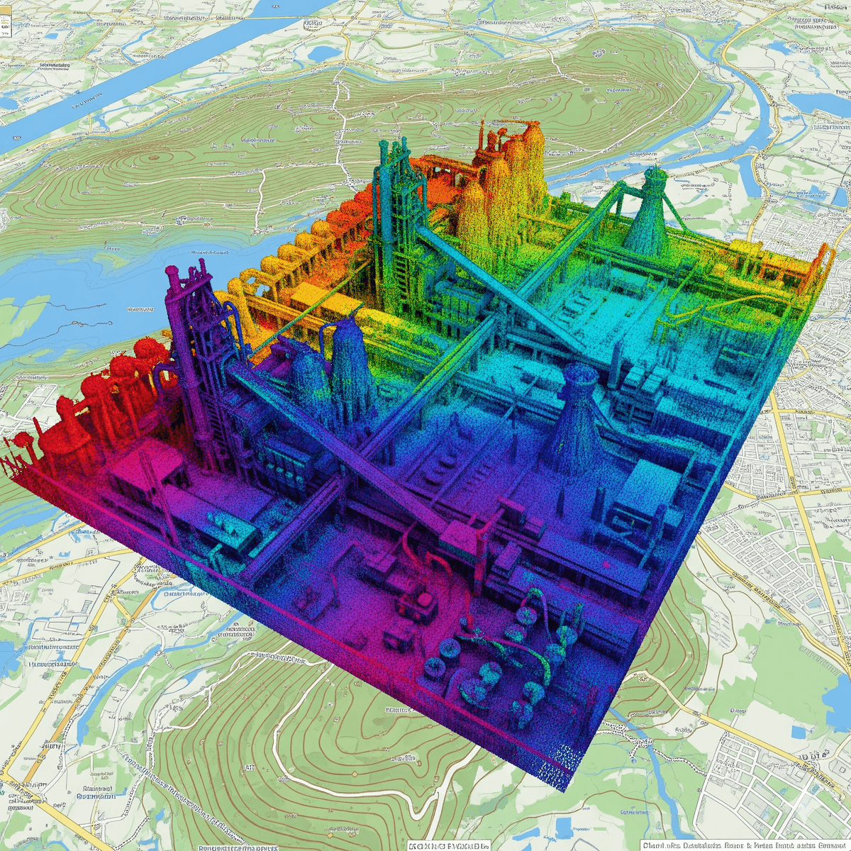
- GIS & LiDAR Integration: Implemented geospatial mapping and LiDAR scanning to digitize assets, pipelines, and layouts with centimeter-level accuracy.
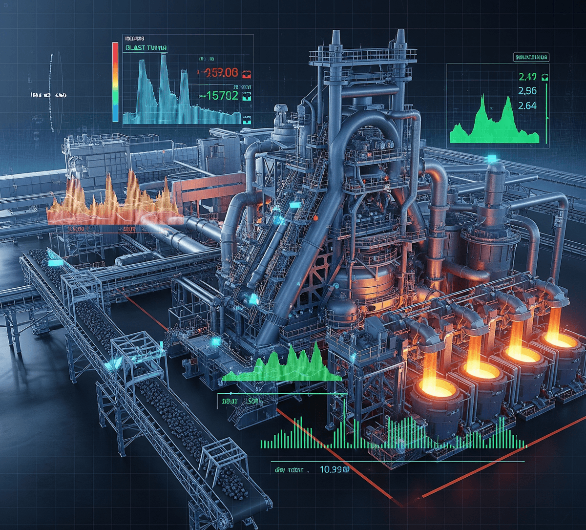
- Industry 4.0 Process Upgrades: Automated legacy engineering flows, enabling predictive maintenance, digital workflows, and real-time decision-making.
- Engineering Automation: Built reusable automation templates for design, analysis, and reporting — accelerating project delivery and reducing rework.
Context
Traditional inspection and engineering methods were time-consuming, hazardous, and lacked integration. Manual processes slowed projects and limited visibility for leaders.
Mission
Modernize engineering and asset workflows with drones, BIM, GIS, LiDAR, and Industry 4.0, ensuring safer, faster, and smarter decisions at enterprise scale.
Digital Engineering in Action
Integrating drones, 3D modeling, and LiDAR enabled digital twins and predictive maintenance workflows, giving Tata Steel a real-time lens into its assets.
Results
- Inspection efficiency: Reduced inspection cycles from weeks to days with UAVs.
- Safety: Lowered workforce exposure to hazardous environments.
- Accuracy: Achieved centimeter-level asset mapping with LiDAR & GIS.
- Speed: Faster project design cycles with reusable automation & 3D BIM workflows.
- Transformation: Shifted Tata Steel’s engineering model towards Industry 4.0 standards.
Tech Stack
Drones (UAVs) • BIM Tools (Revit/Navisworks) • LiDAR • GIS • Python • CAD Automation • Cloud Storage • Digital Twin Platforms • Industry 4.0 Integrations